build your mission plan
MAPS : GOSMIC Mission Center
MAPS is a simple powerful mission center dedicated to new satellite constellations management.
It relies on a framework providing scalability and modularity to compose and integrate all services needed by specific MGS instance for a dedicated mission
MAPS offers a full web interface to manage user requests and follow-up.
MAPS is a micro services system based on modern and open-source technologies.
User interaction
Creating a Programmation Request
Deposit
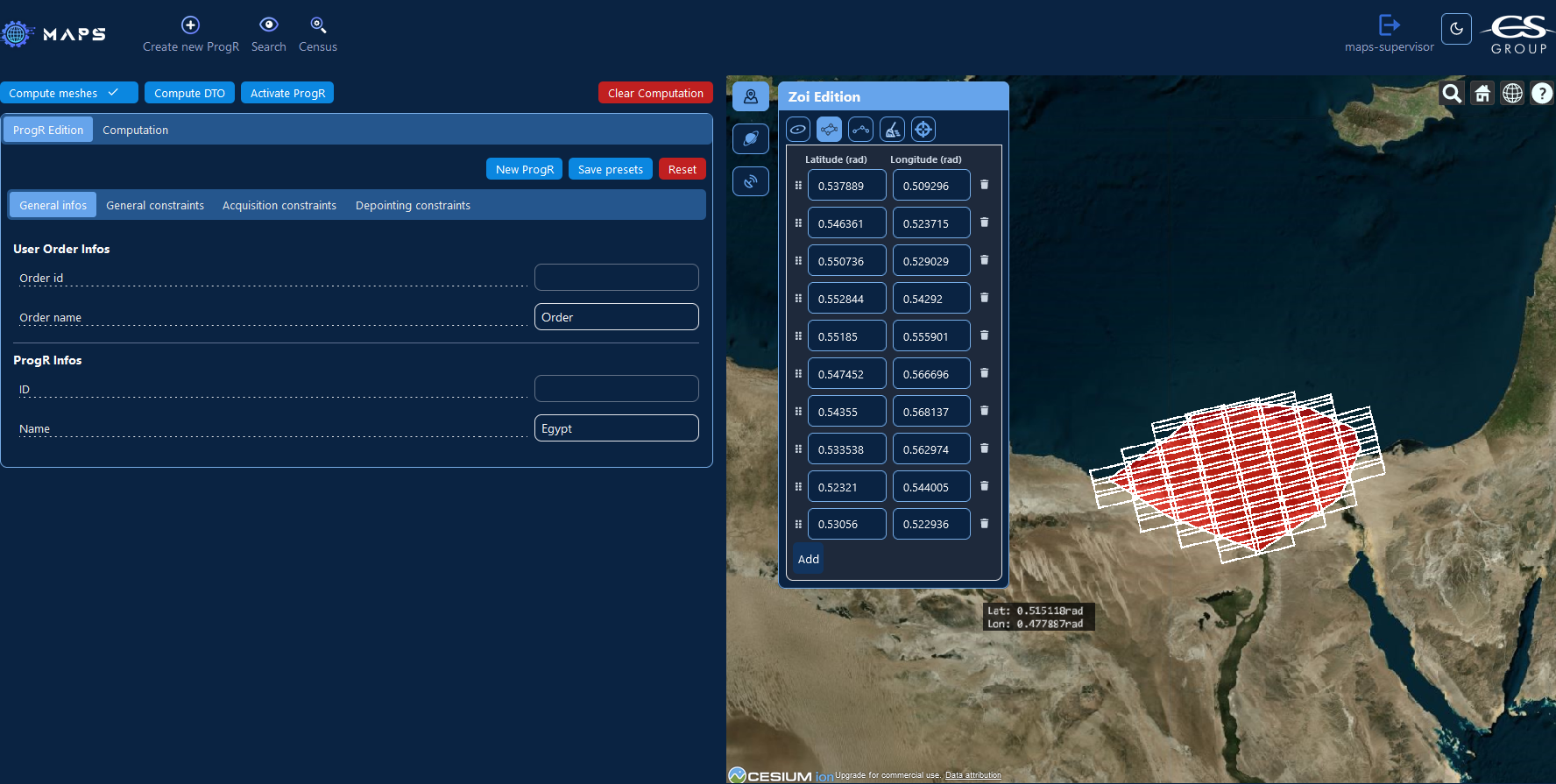
Function allowing users to create requests based upon geographical constraints and several parameters reflecting mission capabilities. User requests can be modified until their completion :
- user request can be activated or suspended
- parameters of user requests can be modified
Search
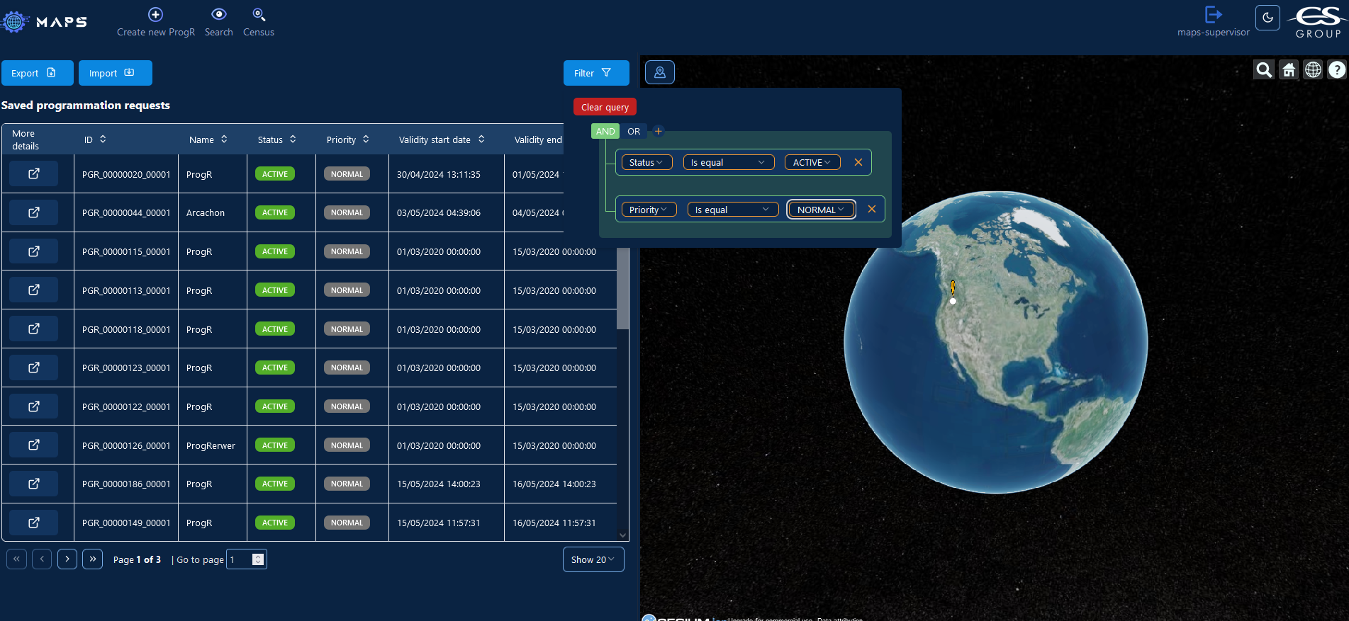
Retrieves users requests, filters them according to criteria related to their parameters or geographical information.
Follow-up
Monitors the state of created requests to determine progression and product availability.
Handling Requests
Programmation Request Processing
Analysis
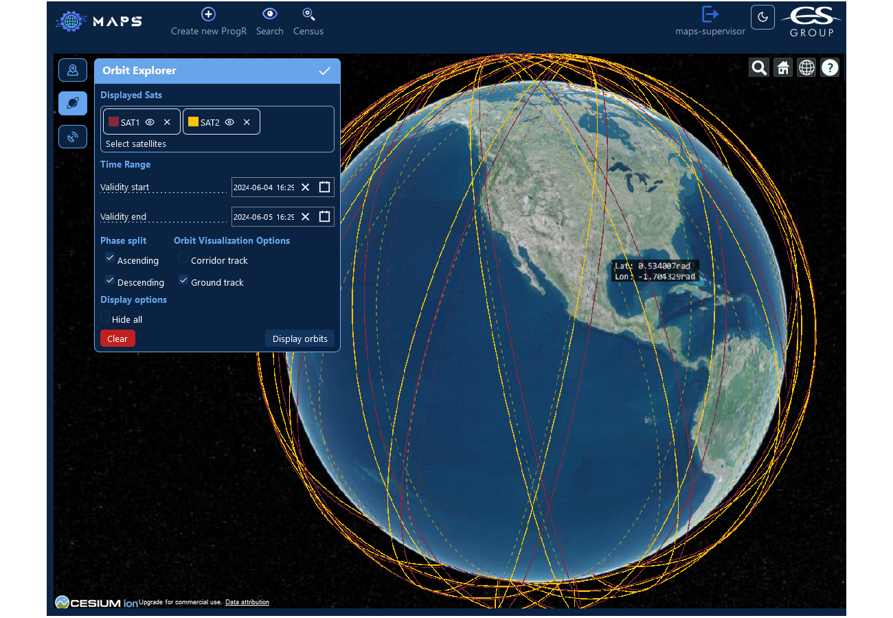
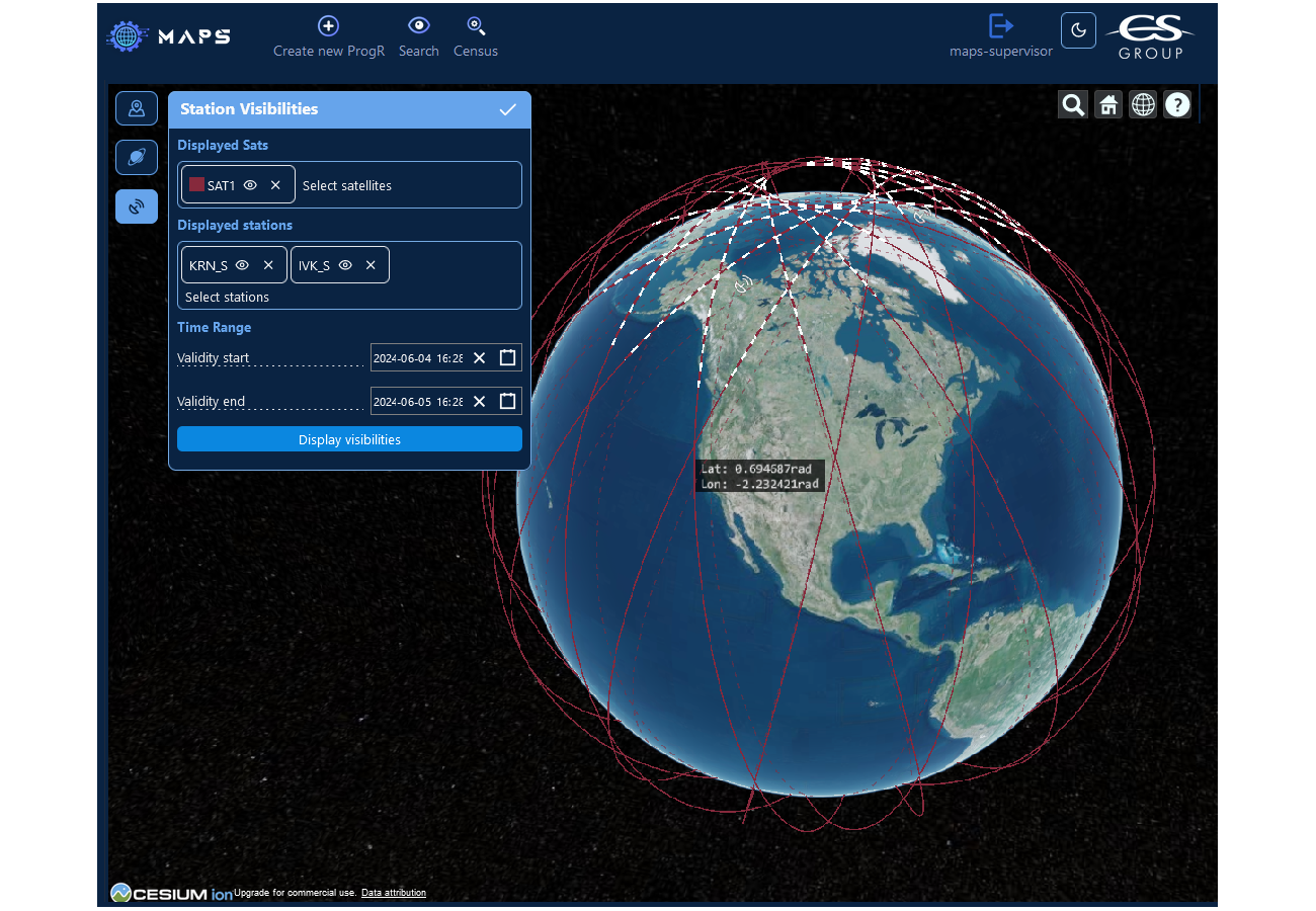
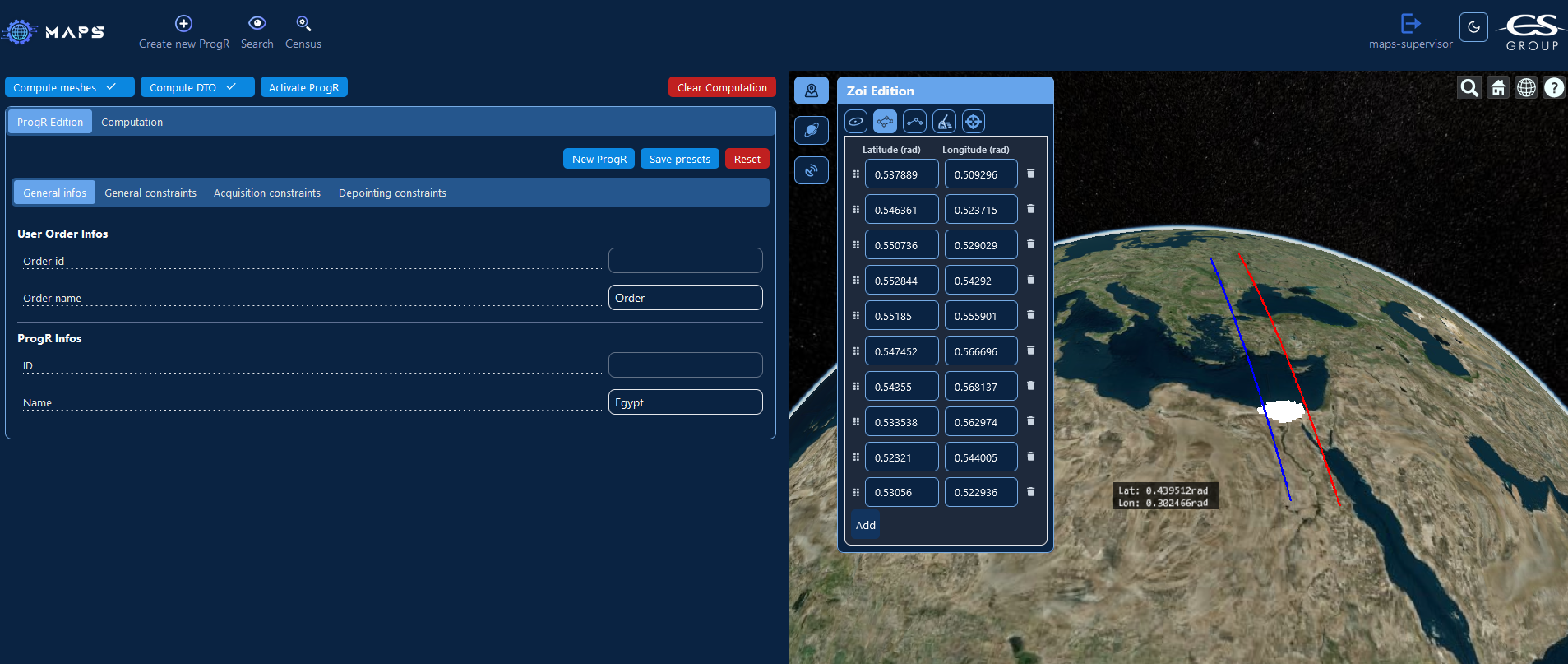
Provides computation capabilities allowing users to preview information on planning opportunities for their requests. It provides the following functionalities (based on OREKIT computations and sensor parameters defined by configuration):
- Orbit information
- Station visibilities information
- Geographical zone splitting into meshes
- Data Take Opportunity (DTO) computation for meshes
Census
Creates DTO’s list to be inserted into mission plan for available user requests. This list is updated with latest satellite data to be up to date with programming context. No re-groupment of requests during census.
Ranking
Function ordering list of accesses that are to be inserted into mission plan according to mission needs and conditions (Order priority, days left in validity period, Acquisition angle).
Feedback
Updates user requests information using information on candidate acquisitions after planning computation and upload and notification of end product availability.
Preliminary Data Exploitation
Considers satellite operational context to obtain mission plan consistency over time. Allows integration of information from external entities that will impact plan computation. Preliminary data is used during the computation of the mission plan.
customizable algorithms
Mission Plan Generation
Acquisition Plan
Computes the sequence of the requested acquisitions that can be done over a mission planning period for a satellite. This function considers the different planning constraints in the form of unavailability slots. During computation of acquisition plan extra elements such as Image Quality Request (as terrestrial acquisitions) are considered and planned.
Kinematic Plan
Determines if all elements inserted during the acquisition plan can be done by the satellite. During this phase, the different kinematic elements are calculated for a satellite to be able to transition from one acquisition to the other.
Downloading Plan
Computes downloading of the elements that have been or will be acquired by the satellite (using station visibility). Downloading plan is based on current mission plan being computed and state of the acquisitions of previous plans. During downloading phase, the satellite points the station and maintains optimal conditions.
Payload Plan
Computes payload actions to be inserted in mission plan for onboard software execution
